Geography
Curacao is a Caribbean island located off the coast of Venezuela in the southern Caribbean Sea.
It is one of the three islands forming the Netherlands Antilles, together with Bonaire and Aruba. Curacao has an area of 444 square kilometers and a population of around 150,000 inhabitants. The terrain of the island is relatively flat, with some hills and valleys in the interior. The highest point of the island is the Christoffelberg, which stands at 375 meters above sea level.
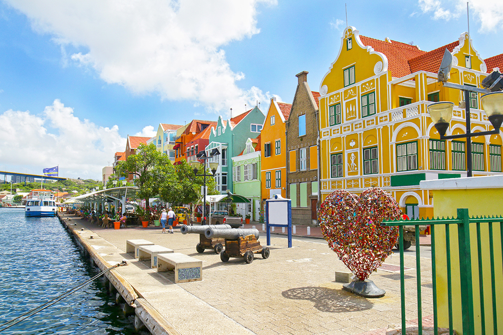
The coastline of Curacao is mostly fringed with coral reefs and sandy beaches, with some areas of mangrove forests. The climate of Curacao is tropical and warm. It experiences two distinct seasons: the dry season from January to June, and the rainy season from July to December. The average temperatures range from 25 to 27 degrees Celsius throughout the year. The capital of the island is Willemstad, which is a UNESCO World Heritage Site. It is known for its colourful colonial Dutch architecture and its many canals. Other major cities on the island are Sint Michiel, Barber, and Scharloo. Curacao's economy is mainly based on tourism, offshore banking, and oil refining. The island is home to one of the largest oil refineries in the Caribbean and the largest oil refinery in the world, Isla Refinery.
It also has a large port, which serves as a major hub for cargo and cruise ships in the Caribbean. Curacao is a popular tourist destination due to its beautiful beaches, vibrant culture, and diverse wildlife. It is home to several unique species of birds, reptiles, and marine life, as well as many species of plants.
The island is also renowned for its excellent diving spots, with some of the best dive sites in the Caribbean.